California Flood Glossary
Base Flood Elevation (BFE) – The elevation shown on the Flood Insurance Rate Map (FIRM) for Zones AE, AH, A1-A30, AO, AR, A99, V1-V30, and VE that indicates the water surface elevation resulting from a flood that has a 1% chance of equaling or exceeding that level in any given year
Elevation Certificate – A certificate that verifies the elevation data of a structure on a given property relative to the ground level. The Elevation Certificate is used by local communities and builders to ensure compliance with local floodplain management ordinances and is also used by insurance agents and companies in the rating of flood insurance policies.
Elevation Certificate – A certificate that verifies the elevation data of a structure on a given property relative to the ground level. The Elevation Certificate is used by local communities and builders to ensure compliance with local floodplain management ordinances and is also used by insurance agents and companies in the rating of flood insurance policies.
Federal Emergency Management Agency (FEMA) – The federal agency within the Department of Homeland Security that is tasked with responding to, planning for, recovering from, and mitigating against man-made and natural disasters.
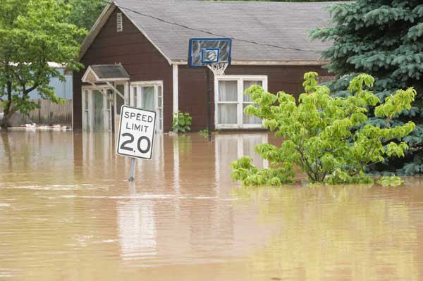
Flood
A general and temporary condition of partial or complete inundation of two or more acres of normally dry land area or of two or more properties (at least one of which is the policyholder’s property) from one of the following:

Flood Insurance Rate Map (FIRM) – Official map of a community on which the Mitigation Division Administrator has delineated both the special hazard areas and the risk premium zones applicable to the community.
Flood Zone (Zone) – A geographical area shown on a Flood Hazard Boundary Map or a Flood Insurance Rate Map that reflects the severity or type of flooding in the area.
Increased Cost of Compliance (ICC) – Coverage for expenses a property owner must incur, above and beyond the cost to repair the physical damage the structure actually sustained from a flooding event, to comply with mitigation requirements of state or local floodplain management ordinances or laws. Acceptable mitigation measures are elevation, flood-proofing, relocation, demolition, or any combination thereof.cable to the community.
National Flood Insurance Program (NFIP) – A federal program enabling property owners in participating communities to purchase insurance protection against losses from flooding. This insurance is designed to provide an insurance alternative to disaster assistance to meet the escalating costs of repairing damage to buildings and their contents caused by floods.
Non-Residential – Includes, but is not limited to: small business concerns, churches, schools, farm buildings (including grain bins and silos), pool houses, clubhouses, recreational buildings, mercantile structures, agricultural and industrial structures, warehouses, hotels and motels with normal room rentals for less than 6 months’ duration, and nursing homes.
Post-FIRM Building – A building for which construction or substantial improvement occurred after December 31, 1974, or on or after the effective date of an initial Flood Insurance Rate Map (FIRM), whichever is late
Residential Condominium Building Association Policy (RCBAP) – Policy issued to insure a residential condominium building and all units within the building, provided that the building is located in a Regular Program Community and at least 75 percent of the total floor area is residential.
Special Flood Hazard Area (SFHA) – A FEMA-identified high-risk flood area where flood insurance is mandatory for properties. An area having special flood, mudflow, or flood-related erosion hazards, and shown on a Flood Hazard Boundary Map or a Flood Insurance Rate Map as Zone A, AO, A1-A30, AE, A99, AH, AR, AR/A, AR/AE, AR/AH, AR/AO, AR/A1-A30, V1-V30, VE, or V.
